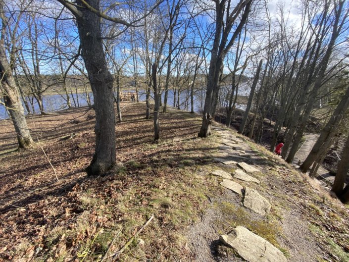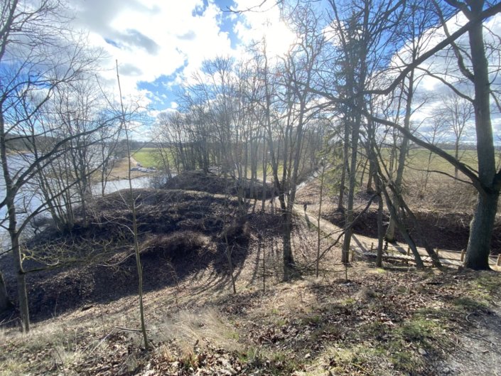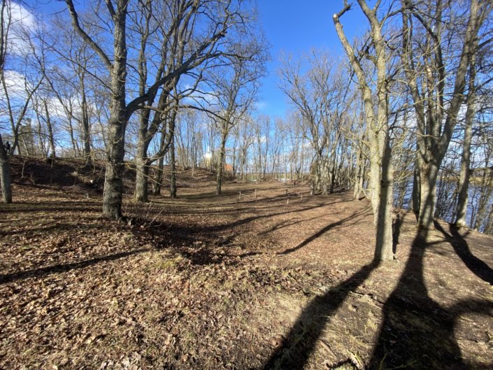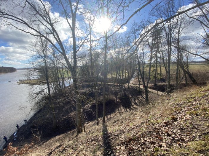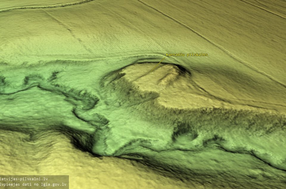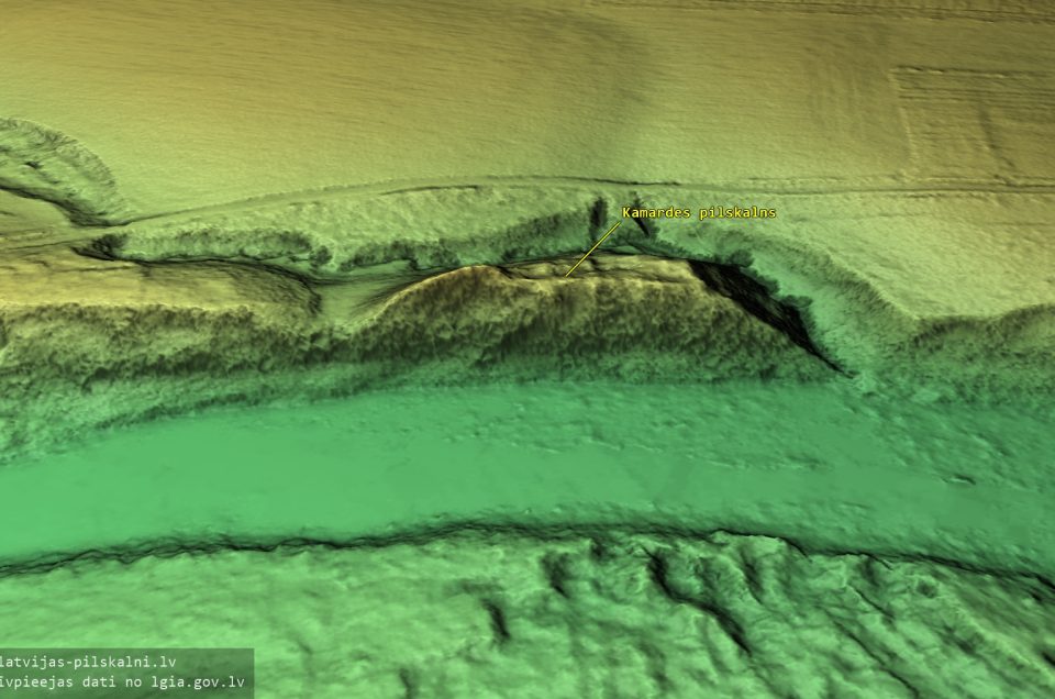
Wikipedia on the hillfort
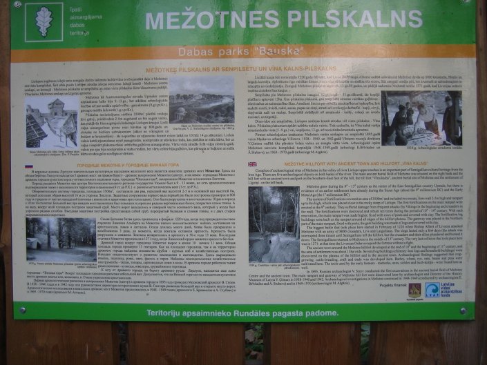
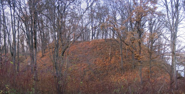
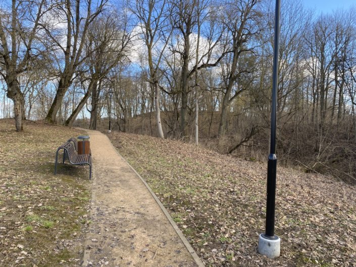
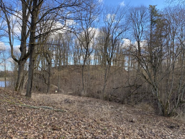
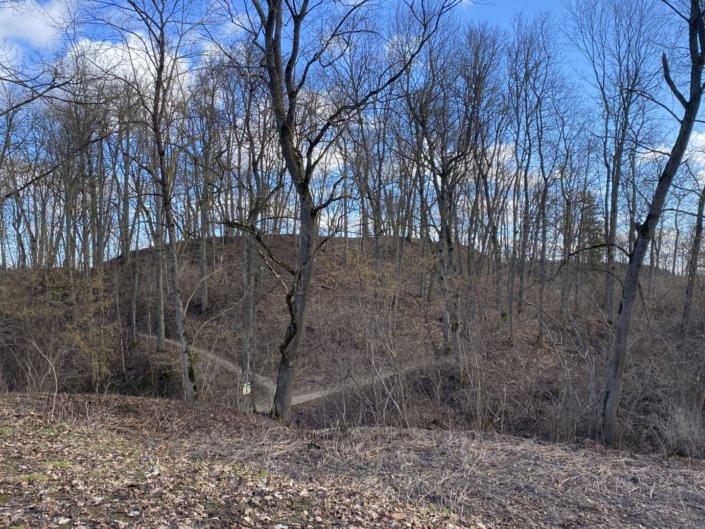
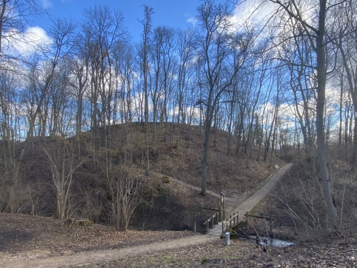
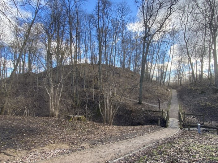
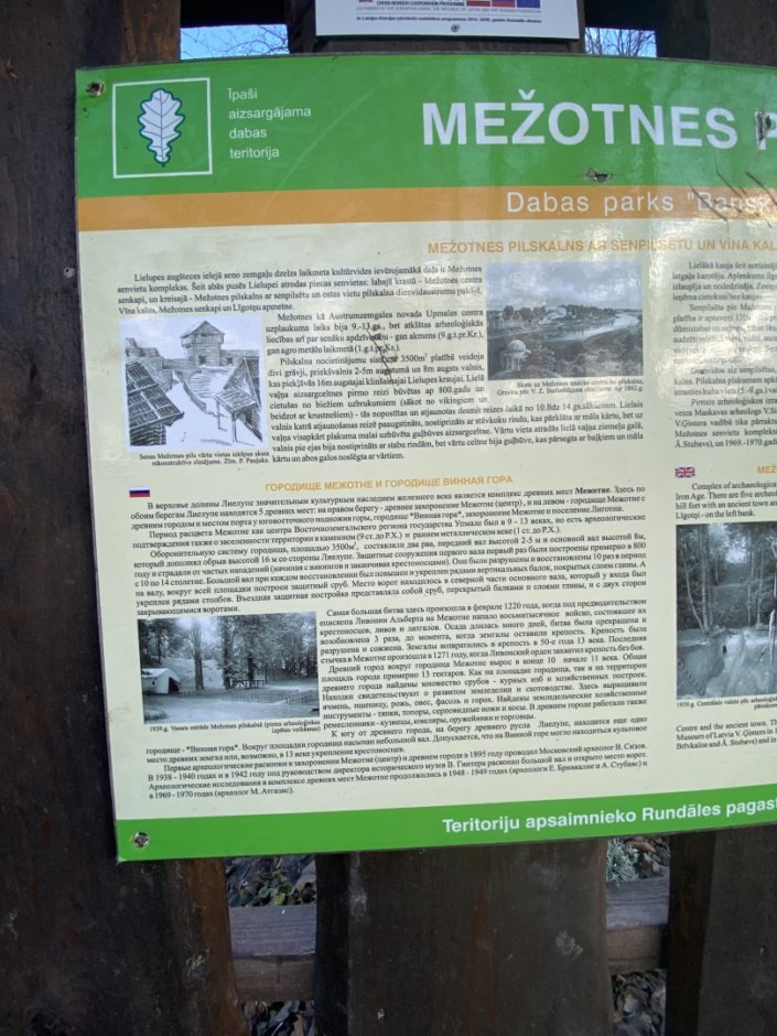
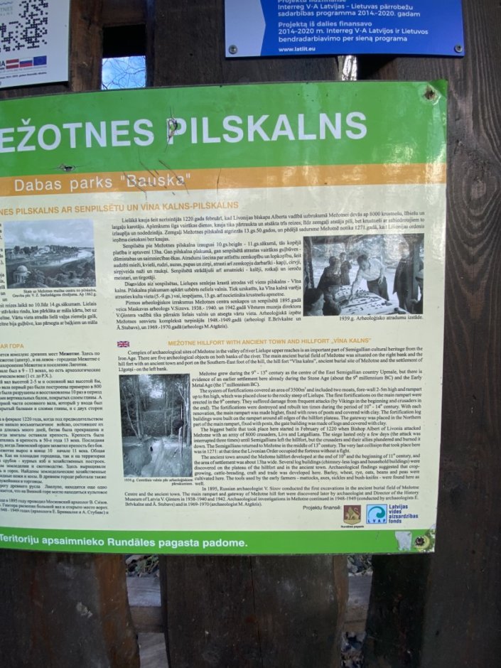
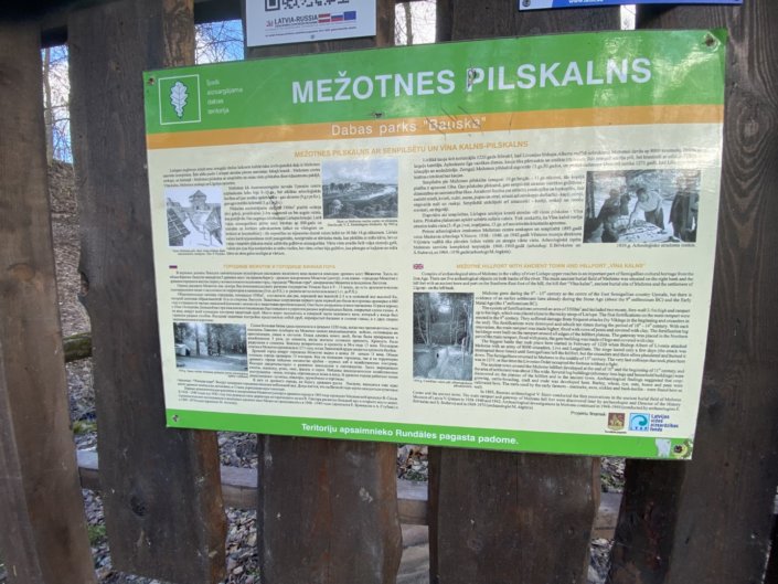
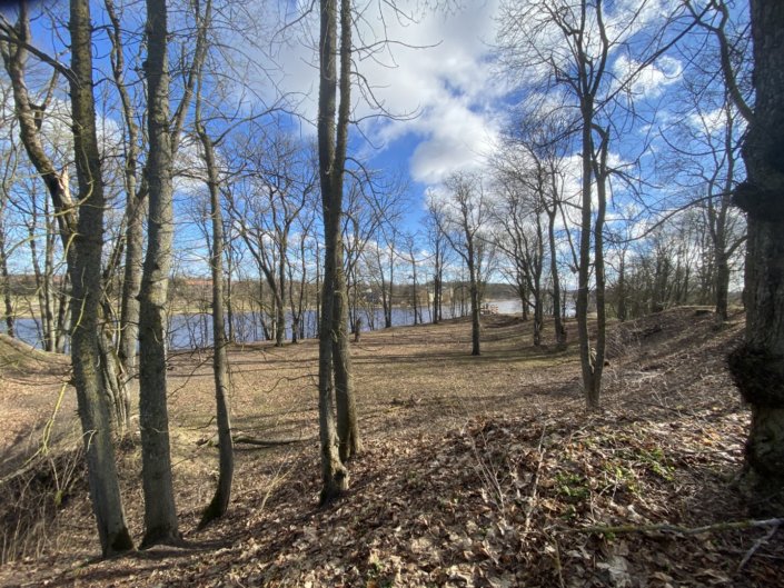
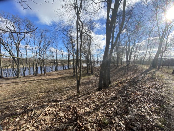
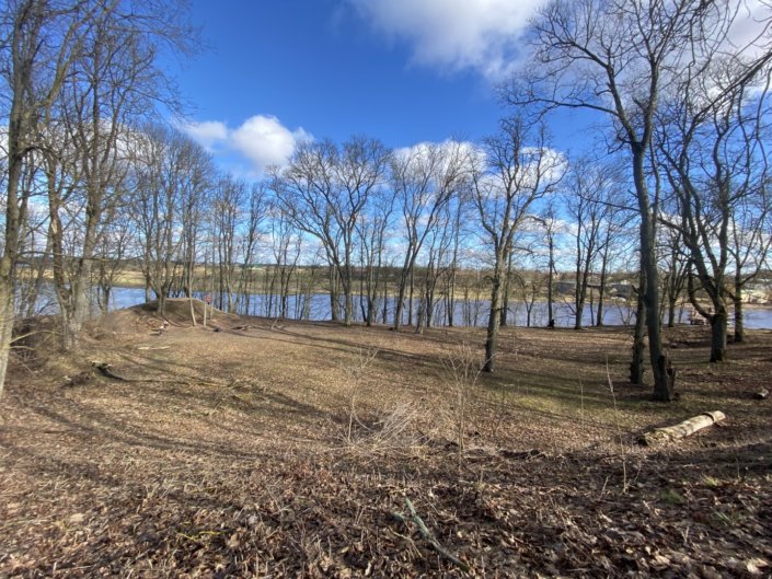
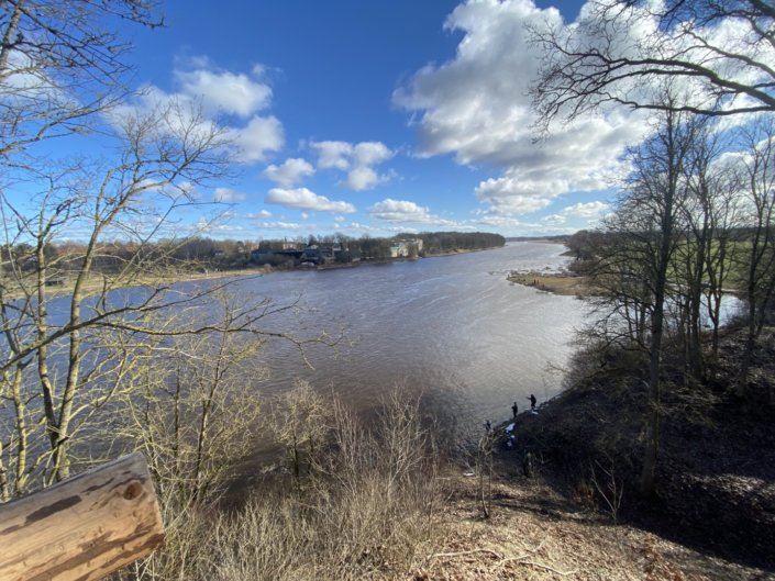
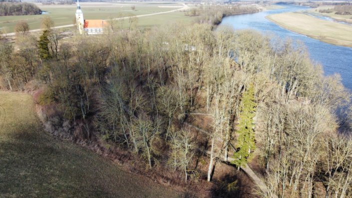
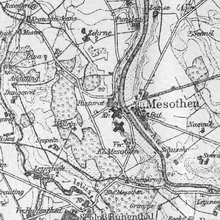
Mežotne hillfort (Latin: castrum Mesiothe), also known as Viesturs’ Hill, is located in Rundāle municipality, across from the centre of Mežotne town, on the left bank of the Lielupe river. According to the Livonian chronicles, the main castle of the Semigallian land of Upmale stood here until 1270. After its destruction, to defend against the Lithuanians, the Livonian order built the Mežotne castle, which existed for a short time (ca. 1321-1346).
Mežotne hillfort was first described in detail by August Bielenstein in 1892. Archaeological excavations have been carried out under the direction of Valdemārs Ģinters (1938-1940, 1942), Emīlija Brīvkalne (1948-1949) and Māris Atgāzis (1969).
Mežotne hillfort with its ancient settlement was named the 2017 archaeological monument of the year.
Ten cultural layers found during excavations confirm the occupation of the hillfort from the 9th to the 13th century. In 1219, a crusader garrison was housed in Mežotne castle, which was subsequently attacked by Semigallian duke Viestards’ forces. In 1220, approximately 8000 Germans, Livonians, and Latgalians besieged the Mežotne castle and, after lengthy battles, captured, plundered, and burned the castle down. In 1225, the administrative centre of the Selonian diocese, later Semigallian diocese, was moved to Mežotne. In 1232, Mežotne castle became the seat of the Semigallian diocese chapter and dean Heidenreich. The 1254 agreement on the division of the Upmale region allocated the Mežotne hillfort and the entire left bank of the Lielupe river up to the Long Island (modern-day Jelgava) to the Livonian Order. In 1270 the old castle was destroyed. After the defeat, most of the population of the castle settlement moved to the territories of the Grand Duchy of Lithuania. Before 1321, the Master of the Livonian Order Gerhard van Joeck built a new castle on the site of the Mežotne hillfort. Lithuanian Grand Duke Algirdas together with Semigallian rebels destroyed the castle in 1346, and it was never rebuilt.
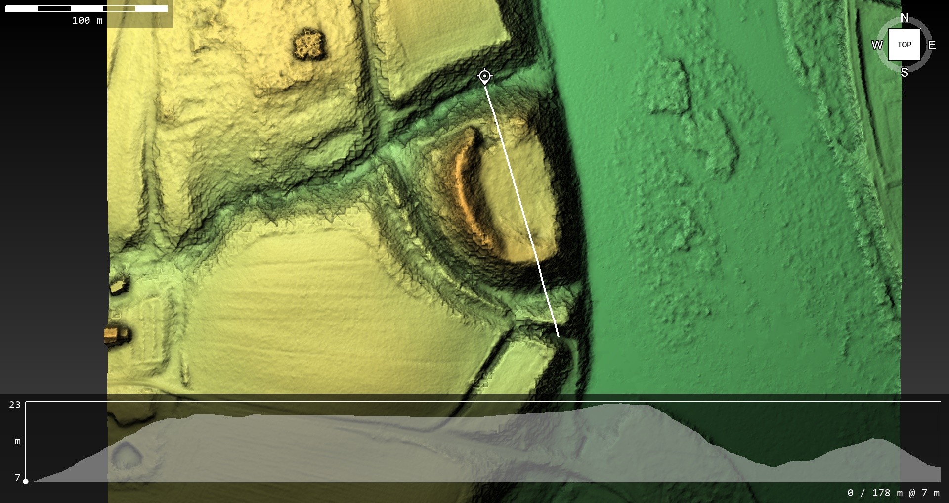
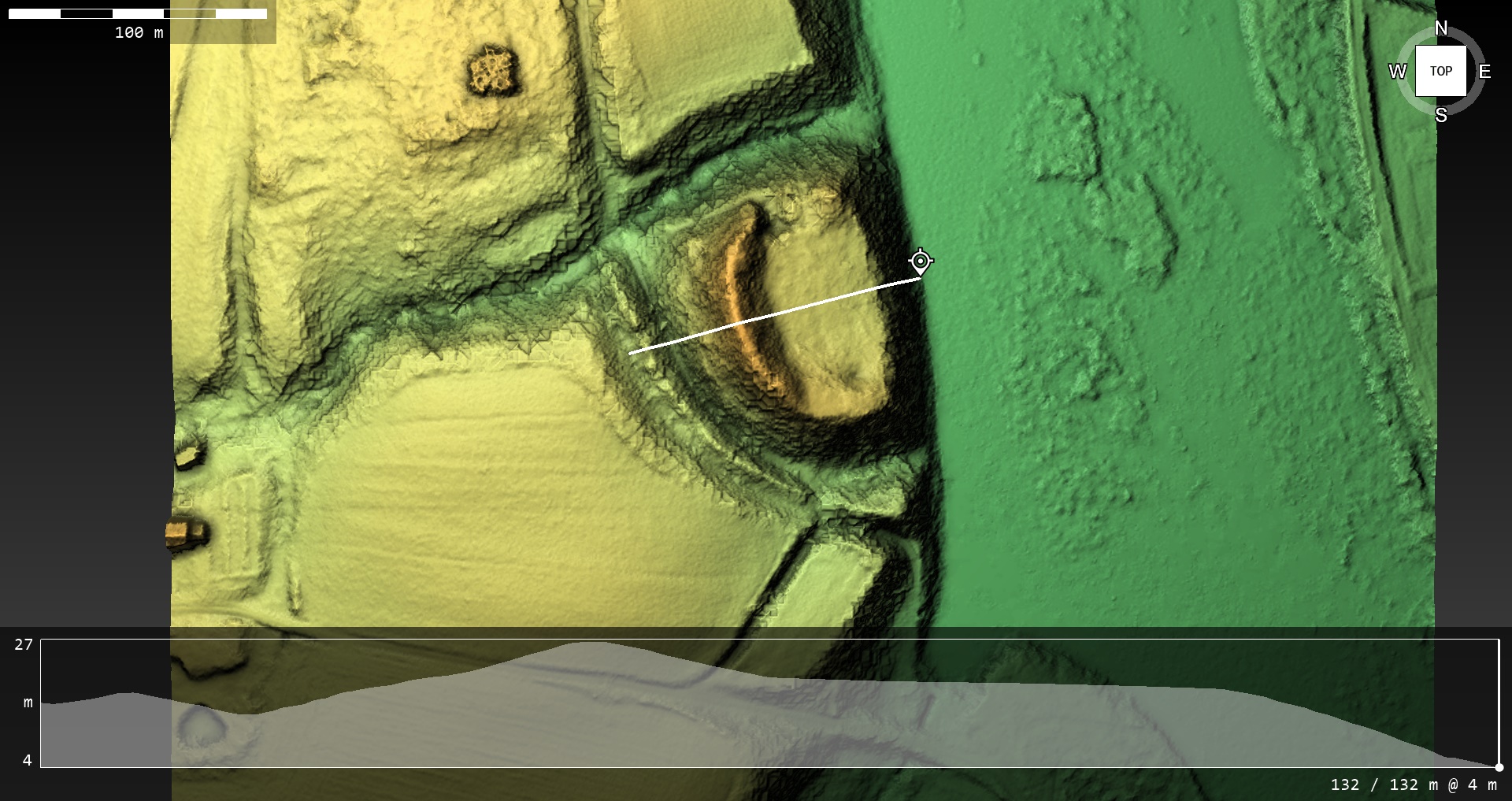
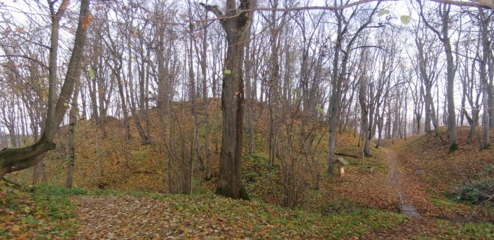
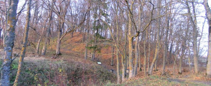
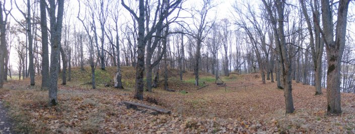
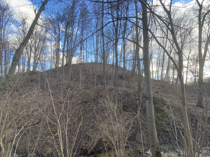
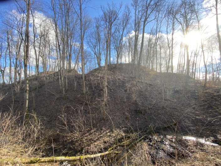
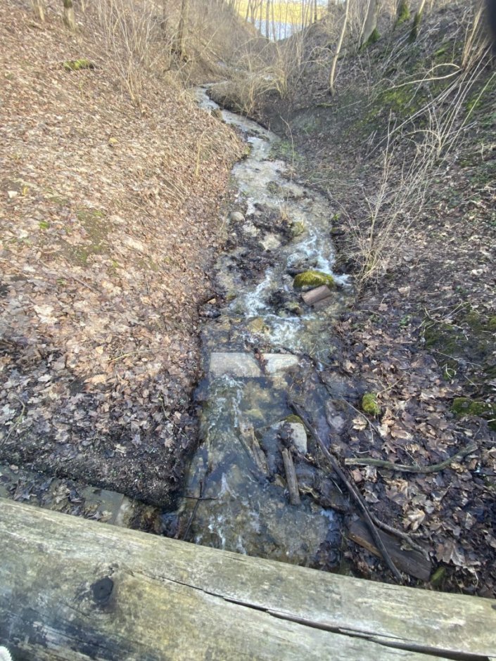
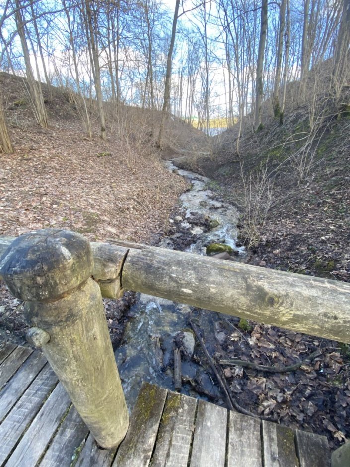
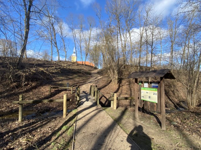
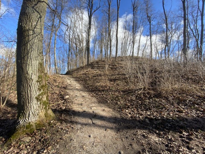
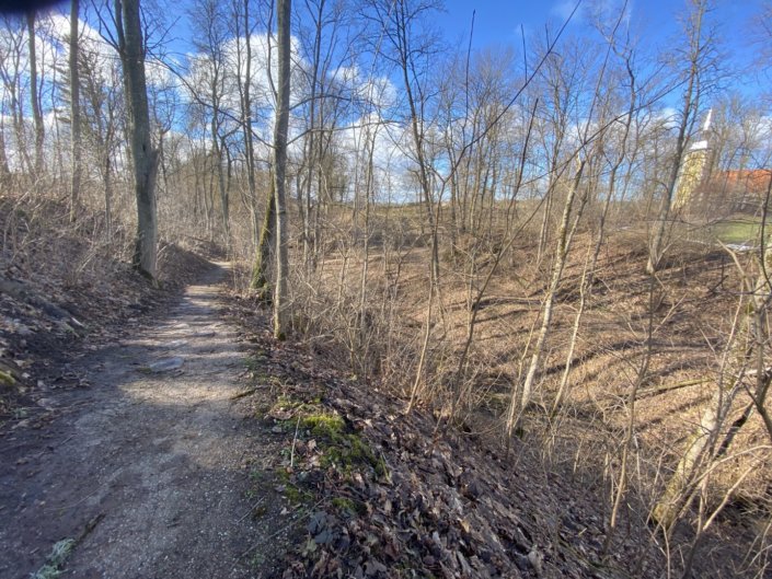
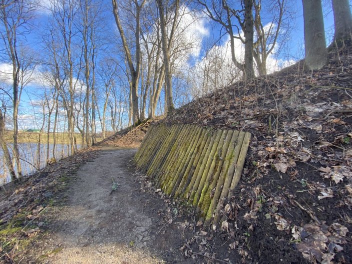
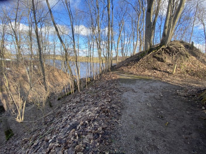
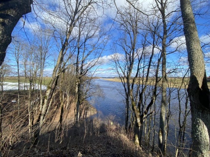
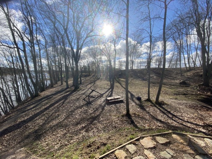
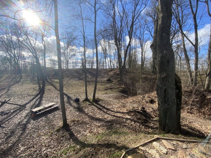
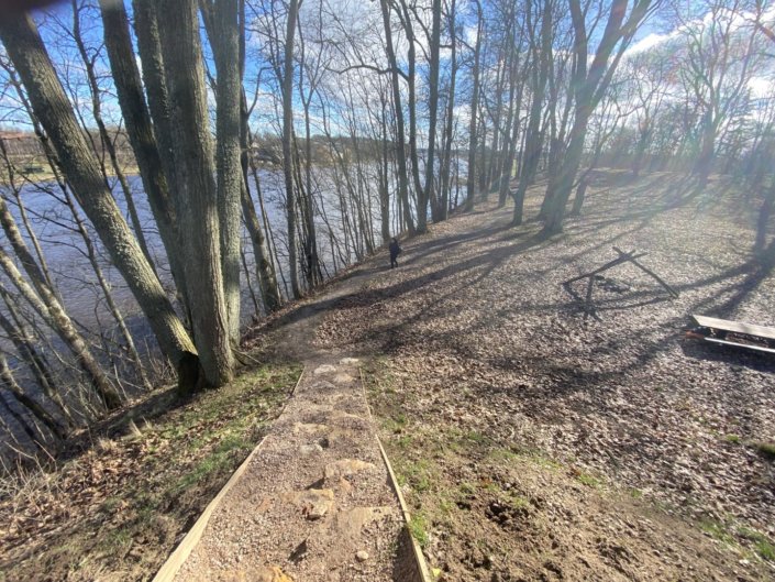
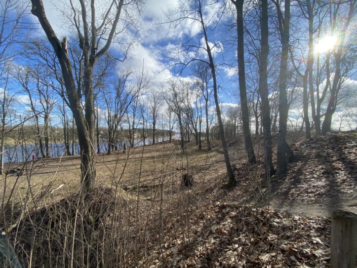
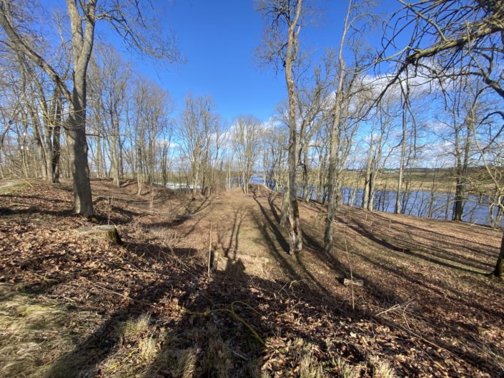
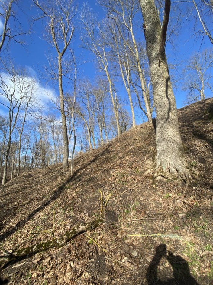
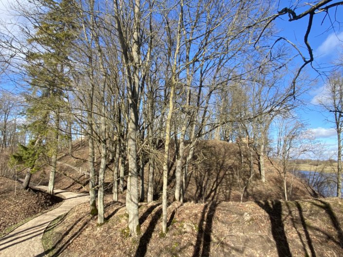
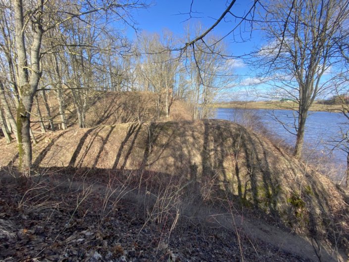
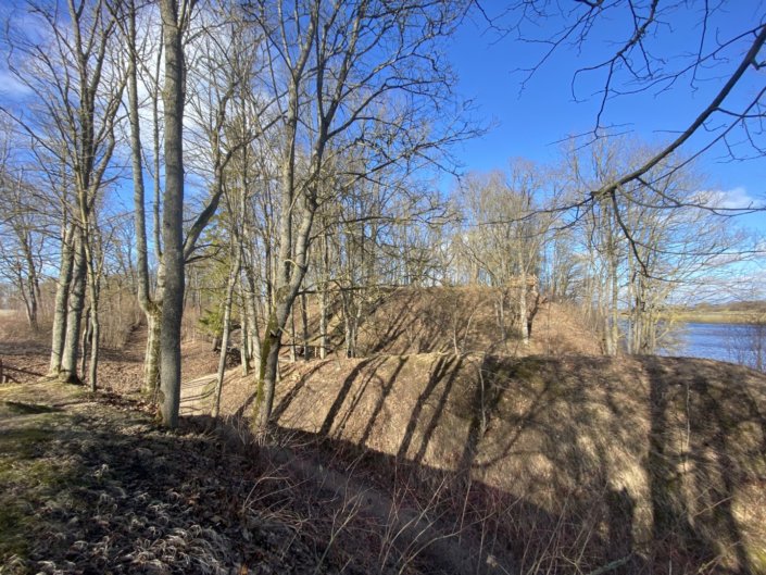
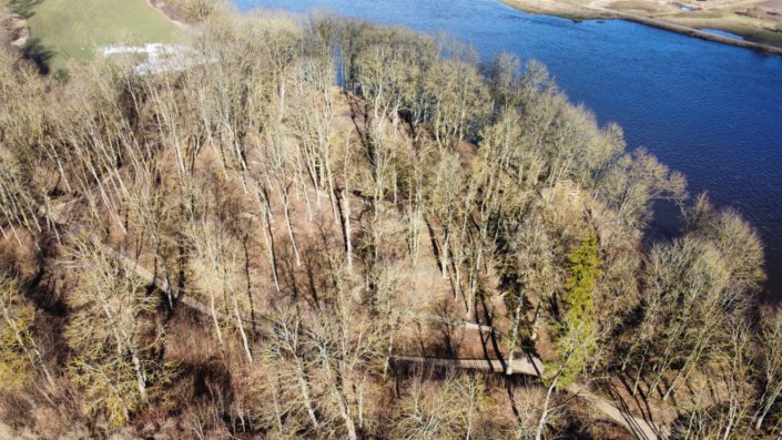
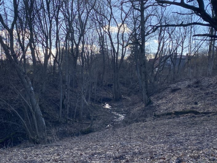
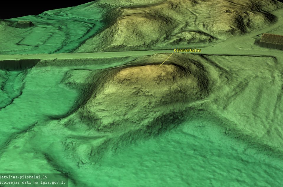
Mežotne hillfort stands on a 16 m high headland, delimited on the east by the steep bank of the Lielupe river and to the north by a ravine with a brook. To the west and the south, the hillfort is fortified by two defensive earthworks and ditches, the larger of which is 7-8 m high and 75 m long and situated on the western side of the hilltop. The second line of earthworks surrounds the base of the hill in a 150 m long semicircle from the south and the west. The entrance to the hillfort was on the western slope. The top of the hill is oblong, with dimensions of 40 x 80 m. The cultural layer on the hilltop is 3-4 m deep.
An ancient port was found on the bank of the Lielupe to the south-east of the hillfort.
In the 11th-13th centuries, a settlement with an area of ca. 13 hectares was located to the north, west, and south-west of the hillfort. The site of the settlement has a rich cultural layer, reaching 2 m depth in the southern part. Vīnakalns hillfort is located to the south of the ancient settlement. According to Bielenstein, it was the site of the Livonian Order castle, destroyed by Lithuanians in 1346.
E.Brastiņš on the hillfort
In Bauska county, across from Mežotne manor on the left bank of the Lielupe river, there stands the largest Zemgale fortification, known as hillfort.
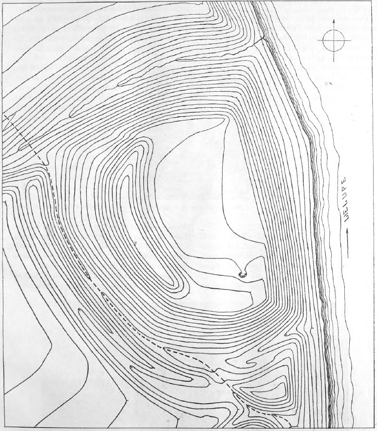
It was constructed on a 16 m high steep bank of the Lielupe. On the northern side of the mound, there is a natural ravine with a tiny brook, but to the south and the west, it is fortified with artificial earthworks. The earthwork is 7 m high and the soil for it comes from the equally deep ditch next to it. The middle of this side is terraced after the erosion of the previous surface. Another earthwork and ditch lie beyond this main earthwork and ditch. This second earthwork is 2-4 m high and on the southern end is cut by a road which was built at a later time and follows the ditch between both earthworks, leading to the rectory.
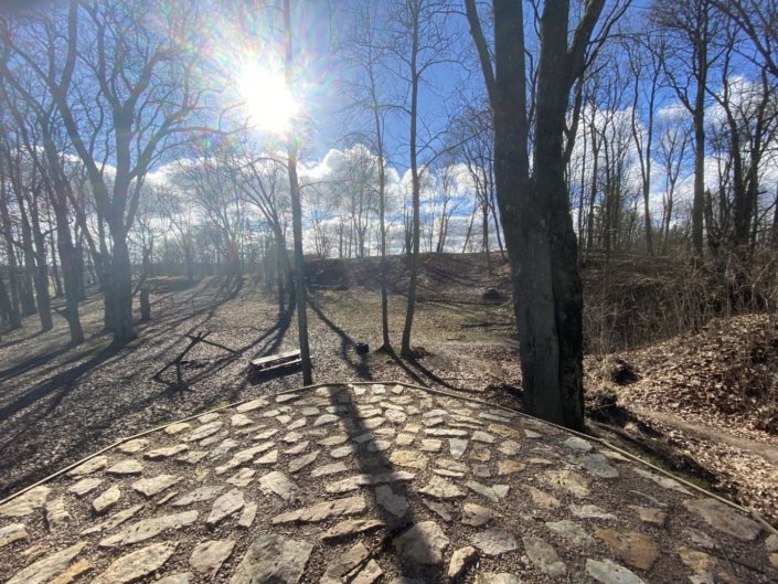
The southern end of the main earthwork was flattened when a pavilion was built there.
The hilltop is level with a slight slope towards the river bank. A pit is located on the southern side near the earthwork, as is common in many hillforts. The ancient entrance can be seen at the northern edge of the earthwork. The cultural layer is relatively recent, with charcoal and wheel-thrown pottery sherds. The hillfort itself is not thought to be very old. Iron and bronze artefacts are often found in the vicinity. Some of them are stored in the collections of the War Museum in Riga.
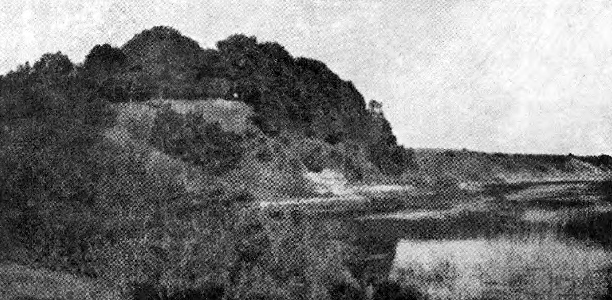
Mežotne castle is mentioned in chronicles as a Semigallian fortress. Archaeologically this hillfort has not been studied and is lacking detailed historical descriptions. Bielenstein mentions it briefly in his “Die Grenzen”.
The following legend is told about the hillfort. Once upon a time, a woodcutter took a nap on the hillfort at midday. While sleeping, he heard someone moaning. Upon waking he did not find anyone nearby. Then he went back to sleep but the moaning got even louder. The third time a voice called from the underground: “Get off this spot, you are heavy! I sleep here because it is my place!” The woodcutter got scared and told the story to the priest. The priest said that it was no surprise because many had laid their bones in that place.
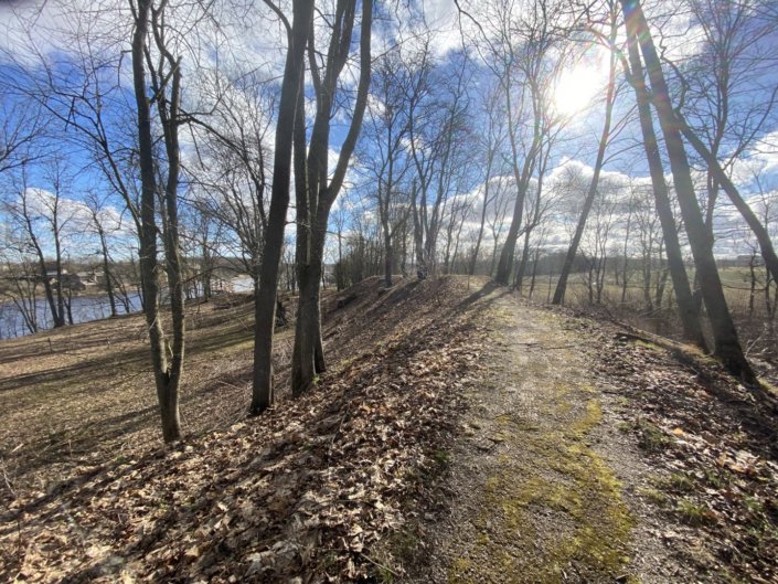
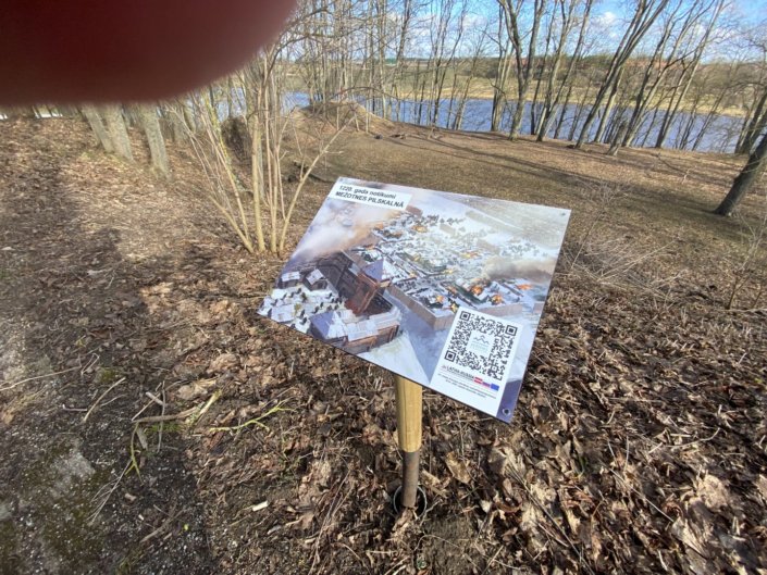
The hillfort is said to have a door where an underground passage begins that leads under the river to the Jumpravmuiža manor.
Mežotne hillfort with its surrounding area is listed as a state historical monument.